Industry Applications of 3D Laser Scanning
3D laser scanning is transforming industries worldwide — delivering exceptional accuracy, speed, and detail for everything from construction and architecture to heritage preservation, engineering, and environmental management. This advanced surveying technology captures millions of precise measurements in seconds, producing highly detailed digital replicas that professionals can rely on for design, planning, and decision‑making.
While the applications are almost limitless, the following examples show how different sectors are harnessing the power of 3D laser scanning to improve accuracy, efficiency, and project outcomes.
Geo Scan delivers industry‑leading 3D laser scanning and measured building surveys throughout London, East London, Essex, and across the UK.
Architectural Design
Measured building surveys and 3D laser scanning are essential in architectural design, providing a highly accurate record of existing structures for renovations, refurbishments, and new builds. Detailed floor plans, elevations, cross‑sections, and orthographic images support precise design work and client presentations. Architects can integrate these datasets into CAD or BIM workflows for seamless design development.
Applications:
- [Internal Link] Measured building survey for architectural design
- Accurate as‑built floor plans and elevations for renovation projects
- 3D modelling and visualisation for planning permission submissions
- Orthographic images for urban design and streetscape studies
Property Development & Real Estate
Property developers and real estate professionals use 3D laser scanning to enhance marketing, assess potential developments, and document heritage buildings. Virtual tours and interactive 3D models give prospective buyers a detailed, immersive view, while topographic surveys provide crucial site data. This technology supports faster decision‑making and better project feasibility assessments.
Applications:
- [Internal Link] Virtual tour creation for property marketing
- Topographic land survey for development planning
- Heritage building documentation for preservation and redevelopment
- Feasibility study surveys for investment decisions
Engineering & Construction
In engineering and construction, accurate measurement is critical for structural analysis, clash detection, and as‑built verification. 3D laser scanning allows teams to track progress, ensure tolerances are met, and coordinate building services with precision. This improves efficiency, reduces rework, and keeps projects within budget and schedule.
Applications:
- [Internal Link] As‑built survey for construction verification
- Structural steel and concrete dimension validation
- Clash detection for MEP and building services coordination
- Progress monitoring scans for construction reporting
Facilities Management
Facilities managers rely on 3D laser scanning and BIM to optimise space use, plan maintenance, and manage assets. Detailed building data supports lifecycle planning, energy efficiency improvements, and accurate record‑keeping. By linking scan data with management software, facilities can be run more efficiently and cost‑effectively.
Applications:
- [Internal Link] BIM survey for facilities management
- Space utilisation analysis for workplace optimisation
- Asset management documentation with accurate floor plans
- Maintenance planning using as‑built building data
Building Inspections & Assessments
3D laser scanning provides a highly accurate record of building conditions, ideal for pre‑purchase inspections, structural assessments, and maintenance planning. It supports early identification of potential issues, helping to ensure compliance with safety and energy standards.
Applications:
- [Internal Link] Building condition survey for insurance or compliance
- Energy performance assessment using scan data
- Structural integrity assessment for safety planning
- Maintenance planning survey for property portfolios
Historic Preservation & Heritage Documentation
Heritage specialists use 3D laser scanning to capture detailed records of historic and cultural assets. Digital preservation ensures structures are documented for restoration, research, and public education. The technology allows for accurate replication, visualisation, and condition monitoring over time.
Applications:
- [Internal Link] Heritage building measured survey for restoration planning
- 3D modelling of historic sites for conservation projects
- Digital archiving of architectural features for research
- Orthographic imagery for heritage planning applications
Interior Design & Space Planning
Designers benefit from precise documentation of interiors to optimise layouts and ensure accessibility. 3D models enable accurate space planning, furniture arrangement, and visualisation of proposed changes before implementation.
Applications:
- [Internal Link] Interior measured survey for refurbishment planning
- 3D model creation for interior design visualisation
- Space planning for office or retail layout optimisation
- Accessibility assessment for compliance with regulations
Forensic Investigations & Insurance
3D laser scanning is increasingly used in forensic and insurance investigations for accurate scene documentation. The resulting models can be revisited at any time, supporting reconstructions, claims assessments, and expert analysis.
Applications:
- [Internal Link] Accident scene survey for insurance claim evidence
- Crime scene reconstruction using 3D scan data
- Fire damage assessment for insurance settlement
- Structural damage documentation for legal reporting
Urban Planning & Development
Planners and developers use laser scanning to analyse urban environments, assess building densities, and model potential developments. Detailed mapping improves decision‑making and supports sustainable city design.
Applications:
- [Internal Link] Streetscape survey for regeneration projects
- Building density analysis for urban planning
- 3D city modelling for development visualisation
- Topographic mapping for infrastructure upgrades
Building Documentation & Archives
Accurate digital records are vital for asset management, heritage preservation, and future planning. Laser scanning provides a permanent, verifiable record of existing conditions.
Applications:
- [Internal Link] Archival building survey for heritage and research
- Digital twin creation for facility lifecycle management
- CAD and BIM data integration for long‑term storage
- Comprehensive as‑built records for future renovation projects
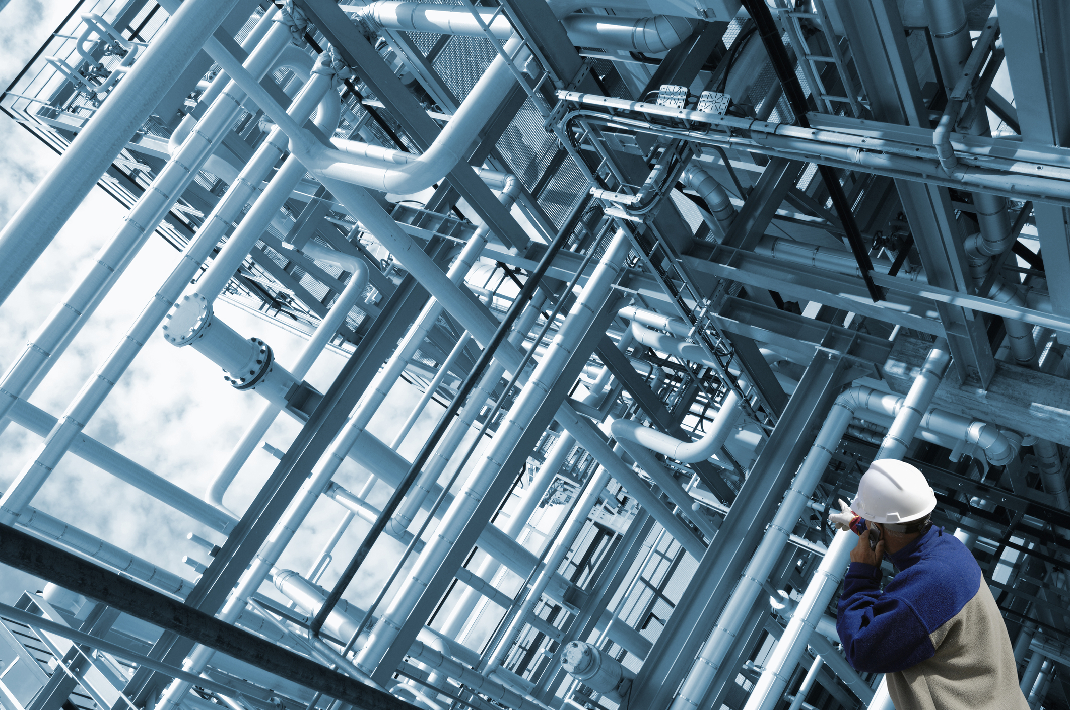
Oil & Gas Refineries & Petrochemical Plants
In hazardous industrial environments, accurate measurements support maintenance, retrofitting, and safety compliance. Laser scanning captures complex equipment layouts without disrupting operations.
Applications:
- [Internal Link] Plant as‑built survey for retrofit design
- Piping and equipment layout verification
- Hazardous area mapping for safety compliance
- Structural integrity assessment of refinery infrastructure
Marine & Offshore Industries
Shipbuilders and offshore engineers use 3D scanning to document vessel interiors, decks, and offshore structures for maintenance and refit planning. The technology supports precision work in challenging environments.
Applications:
- [Internal Link] Ship interior survey for refit planning
- Hull deformation measurement and analysis
- Offshore platform condition documentation
- 3D modelling for marine equipment installation
Mining & Quarrying
Mining operations benefit from laser scanning for volumetric analysis, terrain modelling, and safety monitoring. It provides accurate measurements of stockpiles, pit walls, and site boundaries.
Applications:
- [Internal Link] Mine volume survey for resource calculation
- Quarry face mapping for safety and production planning
- Land subsidence monitoring using 3D scanning
- Terrain modelling for extraction planning
Cultural Heritage Preservation
Archaeologists and cultural heritage specialists use 3D scanning to record artefacts, monuments, and landscapes for research and conservation.
Applications:
- [Internal Link] Archaeological site survey for conservation
- 3D artefact modelling for museum display
- Cultural landscape mapping for heritage projects
- Virtual reality reconstruction for education and tourism
Forestry & Environmental Monitoring
3D laser scanning supports sustainable forestry and environmental management by accurately mapping terrain, vegetation, and forest structures. It allows for detailed analysis of canopy cover, biomass estimation, and land change monitoring, supporting conservation and resource planning.
Applications:
- Forest mapping survey for biomass estimation
- Terrain analysis for environmental impact assessments
- Canopy cover measurement for habitat studies
- Deforestation and reforestation monitoring using scan data
Transportation Infrastructure
Roads, railways, bridges, and tunnels require precise documentation for design, maintenance, and safety assessments. Laser scanning delivers fast, non‑intrusive surveys that minimise disruption to transport networks while providing high‑quality as‑built data.
Applications:
- [Internal Link] Road and bridge as‑built survey for maintenance planning
- Railway track geometry and clearance analysis
- Tunnel deformation monitoring for safety compliance
- Highway corridor mapping for infrastructure upgrades
Industrial & Manufacturing Facilities
Manufacturing and processing plants depend on accurate layout documentation for operational efficiency and safety. 3D scanning helps plan expansions, reconfigure layouts, and verify equipment installation.
Applications:
- [Internal Link] Industrial plant survey for production line optimisation
- Equipment installation verification using 3D data
- Workflow and safety clearance analysis
- Structural and machinery condition documentation
Power Generation
Power plants and renewable energy facilities rely on precise data for operational planning, retrofits, and maintenance. Laser scanning captures complex geometries of turbines, boilers, and piping systems without downtime.
Applications:
- [Internal Link] Turbine and generator as‑built survey for retrofit planning
- Cooling tower and piping network documentation
- Plant layout optimisation using 3D modelling
- Structural safety assessment of energy facilities
Healthcare & Hospitals
Hospitals and healthcare facilities require detailed planning for renovations, equipment installation, and compliance with accessibility standards. Laser scanning ensures accurate, up‑to‑date spatial data for efficient healthcare design.
Applications:
- [Internal Link] Hospital measured survey for refurbishment planning
- 3D model for medical equipment layout optimisation
- Accessibility compliance assessment for healthcare facilities
- Patient flow analysis using spatial data
Education & Research
Universities, schools, and research centres use laser scanning for facility planning, space optimisation, and historical documentation. The technology aids in modernising learning spaces and supporting research infrastructure.
Applications:
- [Internal Link] School and university measured survey for redevelopment
- Laboratory and research space layout planning
- Heritage building documentation for campus preservation
- Classroom space utilisation analysis
Sports & Recreation
Sports venues and leisure facilities depend on accurate surveys for seating layouts, sightline analysis, and crowd management planning. Laser scanning ensures venues meet safety regulations while optimising the spectator experience.
Applications:
- [Internal Link] Stadium seating layout survey for capacity optimisation
- Sightline analysis for spectator experience improvement
- Crowd flow modelling for event safety planning
- Sports facility refurbishment planning
Retail & Commercial Spaces
Retailers and commercial property managers use laser scanning to plan store layouts, improve customer flow, and maximise merchandising space. Accurate measurements support efficient design and quicker project turnaround.
Applications:
- [Internal Link] Retail store measured survey for refit planning
- Customer flow analysis for improved sales performance
- Visual merchandising layout optimisation
- Space planning for commercial office fit‑outs
Telecommunications & Data Centres
Telecoms providers and data centre managers rely on accurate spatial documentation for network infrastructure planning, cooling optimisation, and equipment installation.
Applications:
- [Internal Link] Data centre measured survey for capacity planning
- Cooling system optimisation using 3D modelling
- Telecoms mast and rooftop site surveys
- Cable and conduit routing planning
Schools & Educational Facilities
Primary and secondary schools require accurate floor plans and layout documentation for expansion, refurbishment, and accessibility improvements.
Applications:
- [Internal Link] School measured survey for building extension planning
- Classroom space planning for curriculum delivery
- Playground and sports facility layout documentation
- Accessibility compliance assessment
Care Homes & Assisted Living Facilities
Care homes benefit from precise surveys for space planning, accessibility, and refurbishment. 3D models support designs that improve comfort and quality of life for residents.
Applications:
- [Internal Link] Care home measured survey for refurbishment planning
- Accessibility and ergonomics assessment for resident comfort
- Room layout optimisation for assisted living facilities
- Compliance documentation for care standards
Museums & Galleries
Museums use laser scanning for exhibition design, collection documentation, and building preservation. Virtual models enhance public engagement and educational outreach.
Applications:
- [Internal Link] Museum measured survey for exhibition planning
- Artefact preservation with 3D modelling
- Virtual tour creation for online engagement
- Lighting and display optimisation
Historical Sites & Monuments
Historic monuments require detailed documentation for conservation, restoration, and academic research. Laser scanning creates a permanent digital record for ongoing preservation work.
Applications:
- [Internal Link] Monument measured survey for restoration projects
- Structural condition monitoring of heritage landmarks
- Digital archiving for heritage records
- 3D modelling for public interpretation and education
Film & Entertainment Industry
Film production teams use 3D scanning for set design, location capture, and visual effects planning. It ensures accuracy in pre‑visualisation and virtual production workflows.
Applications:
- [Internal Link] Film set measured survey for production planning
- Projection mapping surface preparation
- Location capture for CGI integration
- Studio space optimisation for filming requirements
Theme Parks & Amusement Parks
Theme parks use 3D scanning to design rides, manage attractions, and ensure guest safety. Detailed models improve operational planning and maintenance.
Applications:
- [Internal Link] Ride and attraction survey for design and safety compliance
- Guest flow modelling for crowd management
- 3D modelling for immersive attraction design
- Maintenance planning using as‑built data
Exhibition & Event Spaces
Event venues require accurate plans for booth layouts, crowd management, and audiovisual planning. 3D scanning supports quick turnaround for multiple event configurations.
Applications:
- [Internal Link] Exhibition hall measured survey for event planning
- Crowd flow and safety analysis for large gatherings
- AV equipment placement planning
- Space optimisation for trade shows and conferences
Airports & Transportation Hubs
Airports use 3D scanning for terminal design, passenger flow optimisation, and security planning. The technology improves operational efficiency and infrastructure planning.
Applications:
- [Internal Link] Airport terminal measured survey for expansion planning
- Passenger flow modelling for efficiency improvement
- Baggage handling system layout verification
- Security checkpoint optimisation
Agriculture & Farming
Agricultural planners use laser scanning for land analysis, irrigation design, and facility planning. It supports more efficient, sustainable farming practices.
Applications:
- [Internal Link] Farm measured survey for irrigation planning
- Barn and storage facility layout documentation
- Land contour mapping for crop management
- Drainage and water flow analysis
Warehouses & Logistics
Logistics companies use 3D scanning for warehouse layout planning, storage optimisation, and operational efficiency improvements.
Applications:
- [Internal Link] Warehouse measured survey for layout optimisation
- Storage capacity analysis and racking design
- Workflow and aisle width optimisation
- Logistics hub refurbishment planning
Hospitality & Hotels
Hotels and hospitality venues rely on precise surveys for guest room layouts, event space planning, and accessibility compliance.
Applications:
- [Internal Link] Hotel measured survey for refurbishment and fit‑out
- Event space layout planning for weddings and conferences
- Guest room accessibility compliance assessment
- Furniture and amenity layout optimisation
Laboratories & Research Facilities
Labs require accurate documentation for equipment placement, safety compliance, and operational planning.
Applications:
- [Internal Link] Laboratory measured survey for refurbishment planning
- Safety clearance and workflow optimisation
- Ventilation and equipment layout planning
- Hazardous area mapping for compliance
Stadiums & Sports Facilities
Large sports venues use 3D scanning for seating optimisation, accessibility planning, and fan experience enhancement.
Applications:
- [Internal Link] Stadium measured survey for seating reconfiguration
- Accessibility compliance for large venues
- Crowd flow modelling for safety planning
- Visualisation for new construction or refurbishment
Why Quality Matters: The True Value of Precision in Measured Building Surveys
In the realm of measured building survey services, precision is paramount. These surveys are essential for countless projects, providing crucial data for design, construction, and renovation. However, not all surveys are created equal, and opting for cheaper options can lead to costly mistakes. The Importance of Precision in Measured Building Surveys High-precision building surveys require... Continue reading→
3D Laser Scanning Industry Applications
Industry Applications of 3D Laser Scanning 3D laser scanning is transforming industries worldwide — delivering exceptional accuracy, speed, and detail for everything from construction and architecture to heritage preservation, engineering, and environmental management. This advanced surveying technology captures millions of precise measurements in seconds, producing highly detailed digital replicas that professionals can rely on for... Continue reading→
Accurate Surveying Solutions: Precision for Your Projects
How well this mistaken ideas off denouncing pleasure & praisings will give you complete. Continue reading→
