
Consultancy Services
Expert advice to plan, manage, and deliver complex survey projects. We help you choose the right methods and ensure you get the data you need, in the right format.
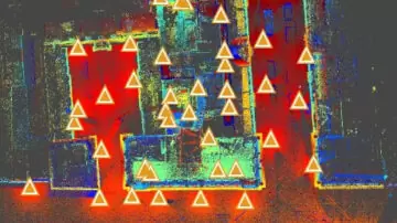
3D Laser Scanning
High-precision 3D laser scanning in London and across the UK. We deliver accurate point cloud data and digital models for architects, engineers, and contractors—saving time and reducing costly rework.

Measured Building Surveys - Child Pages
We precisely capture your building’s structure and features in full detail. The data forms the foundation for accurate 2D and 3D outputs—giving architects, engineers, and contractors the confidence to design and build without costly errors. …

Engineering Surveys
Precision setting out, site control, and monitoring for high-tolerance construction projects. We deliver confidence and accuracy at every stage.
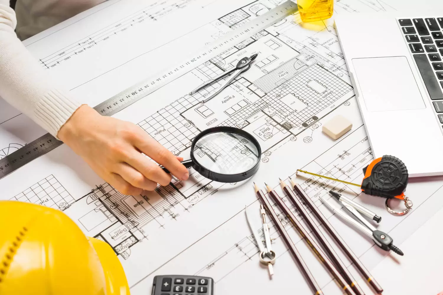
2D Architectural Plan Drawings
Clear, precise floor plans, cross-sections and elevation drawings from our survey data—perfect for planning, design, and construction, giving your team a dependable base for their work.
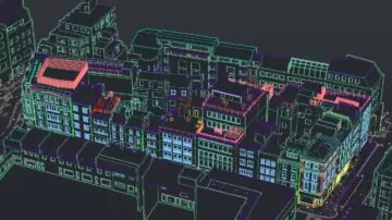
3D CAD Modelling & BIM
We convert survey data into accurate 3D CAD models and BIM-ready outputs. Ideal for architects, engineers, and contractors who need precise geometry for design, clash detection, and project coordination.
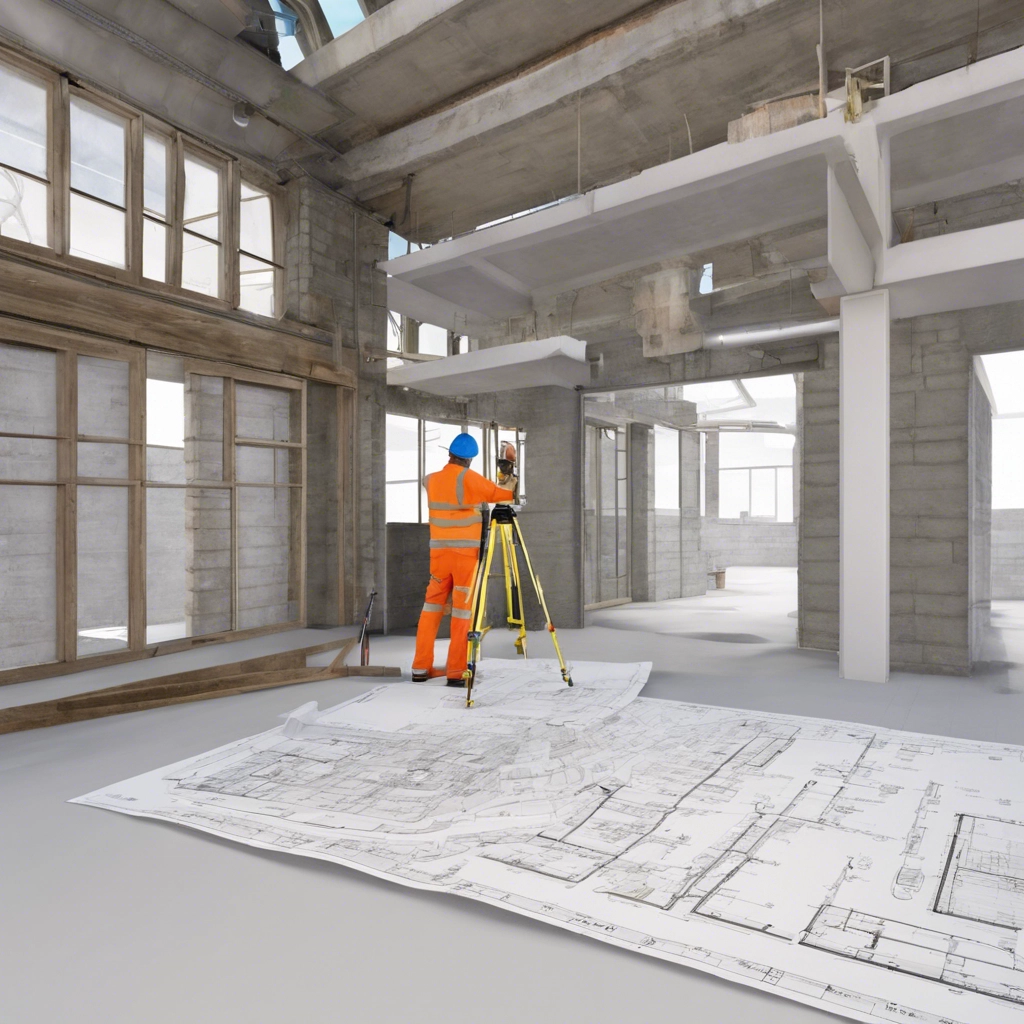
As-built Documentation
As-built surveys capture the built condition of a structure with complete accuracy. Perfect for verifying construction progress, managing refurbishments, and ensuring records match reality.
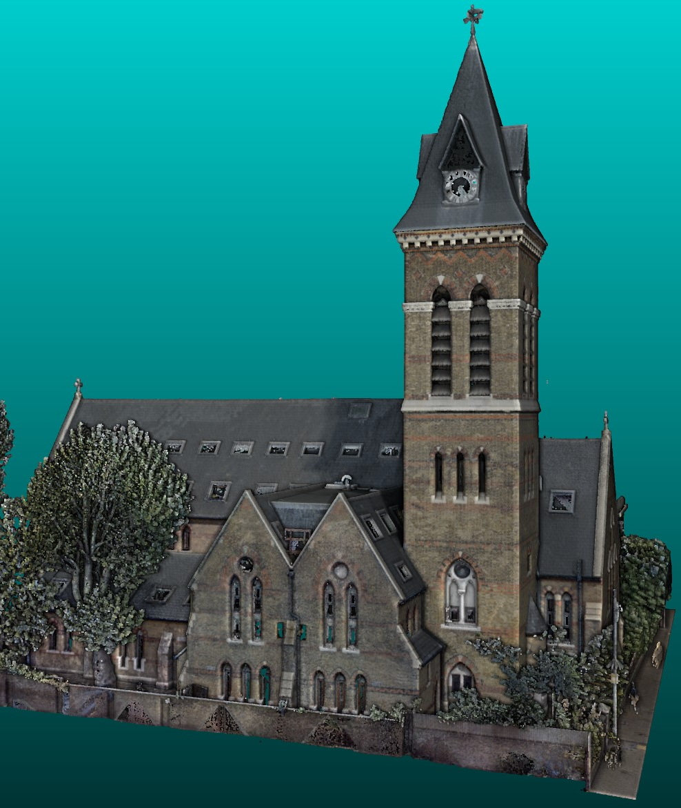
Heritage & Conservation Surveys - Page Coming Soon!
Specialist measured surveys for historic and listed buildings. We document structures in fine detail, supporting conservation, restoration, and heritage planning with care and precision.
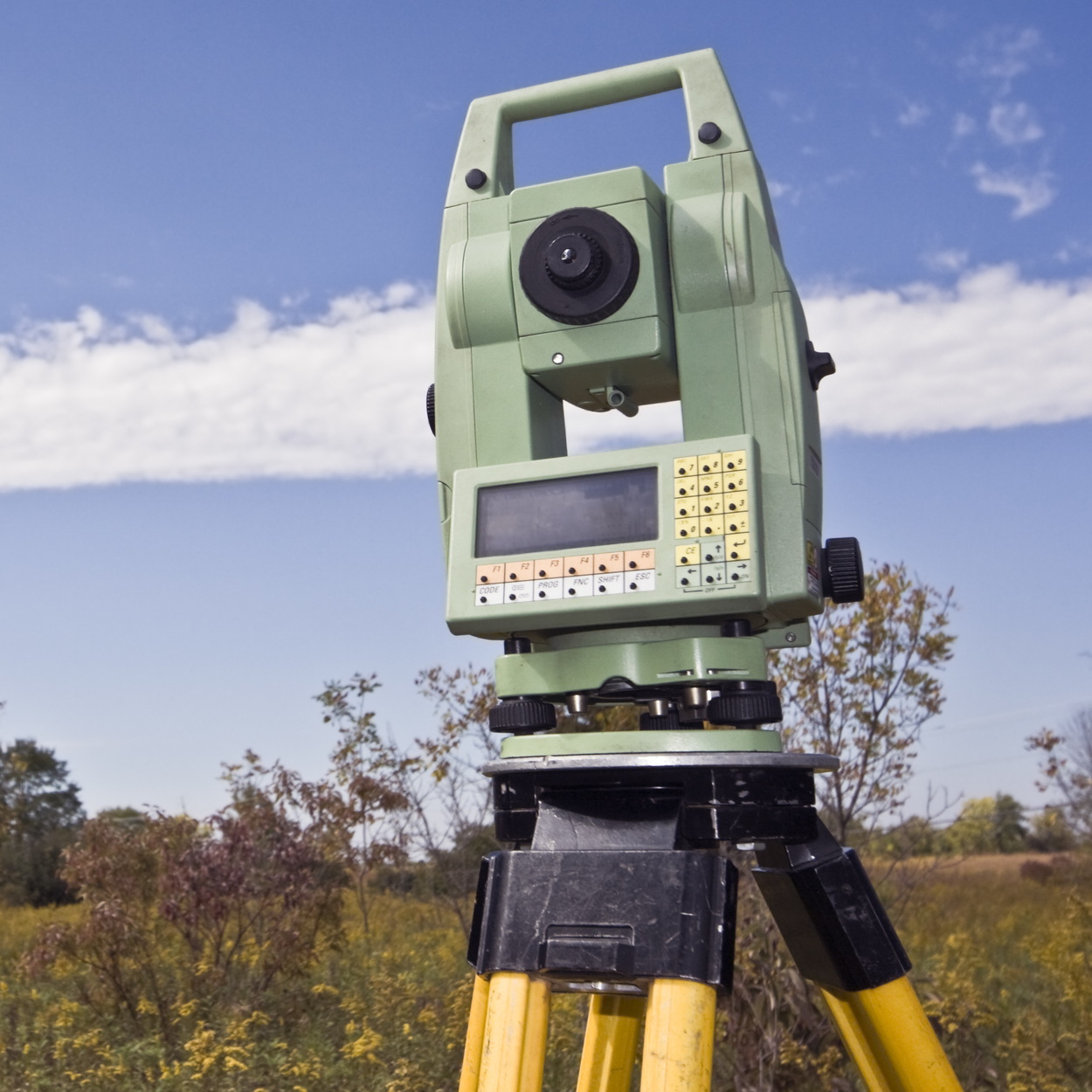
Topographic Land Surveys - Page Coming Soon!
Detailed land surveys for planning, design, and development. Using 3D scanning, GNSS, and total stations, we map terrain and features with exceptional accuracy.

Photogrammetry - Page Coming Soon!
Geo Scan utilises photogrammetry to create high-definition, photo-realistic mesh models from photographs, enabling accurate measurements and analyses for a variety of applications.
Aerial Drone Surveys - Page Coming Soon!
Rapid, high-level data capture for hard-to-reach or large-scale sites. Our drone surveys deliver accurate maps, models, and visuals—reducing time on site and improving project visibility.
Mobile Mapping - Page Coming Soon!
We provide fast, efficient data capture while in motion using mobile mapping systems, ideal for large or linear sites. Get georeferenced 3D data and imagery without disrupting operations.
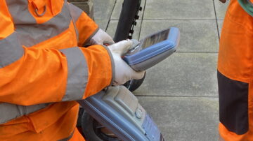
Underground Utilities Surveys - Page Coming Soon!
Geo Scan delivers precise underground utilities surveys that accurately locate and map utilities beneath the surface. Using advanced technologies like ground-penetrating radar (GPR) and 3D laser scanning, we provide essential data on water, …
