Accurate surveying is essential for the success of construction, engineering, and development projects. Precision in surveying not only ensures the smooth execution of plans but also mitigates risks, saves costs, and enhances overall project quality. This article delves into the significance of accurate surveying solutions, focusing on the role of 3D laser scanning services, various surveying techniques, and their benefits. Whether you’re planning a small development or a large-scale construction project, understanding the importance of accurate surveying is crucial.
The Importance of Accurate Surveying
Accurate surveying is vital for the precise mapping of project sites, ensuring that every detail is captured accurately. This precision is crucial for several reasons:
- Enhanced Project Planning: Accurate surveys provide detailed site information, allowing for better planning and decision-making. This leads to more efficient resource management and project timelines.
- Improved Construction Quality: Precision in measurements ensures that structures are built correctly, reducing the risk of errors and enhancing the overall quality of construction.
- Regulatory Compliance: Accurate surveys help ensure that projects meet all legal and regulatory requirements, avoiding fines and project delays.
- Risk Mitigation: Identifying potential issues early through accurate surveys helps mitigate risks and prevent costly rework.
- Cost Savings: While investing in accurate surveying may seem expensive initially, it can lead to significant cost savings by preventing errors and ensuring efficient project execution.
Tools and Techniques in Accurate Surveying
Several advanced tools and techniques are used in modern surveying to achieve high accuracy. Here are some of the most effective methods:
3D Laser Scanning Technology
- How 3D Laser Scanning Works: 3D laser scanning involves emitting laser beams that bounce off surfaces and return to the scanner, which calculates distances with high precision based on the time it takes for the laser to return. This process generates a comprehensive point cloud, representing the scanned area or object in great detail.
- Applications and Benefits: 3D laser scanning is used across various industries, including construction, heritage conservation, and engineering surveys. It provides accurate building measurements and facilitates detailed documentation, making it essential for renovation projects and architectural design.
Global Positioning System (GPS)
- Enhancing Surveying Accuracy with GPS: GPS technology provides real-time data on location and elevation, making it a powerful tool for precise mapping and measurements. It is especially useful in large, open areas where traditional surveying methods may be less effective.
- Applications and Benefits: GPS is widely used in land surveying, construction, and infrastructure projects. It enables quick data collection and reduces the need for manual measurements, thus saving time and reducing errors.
Total Stations
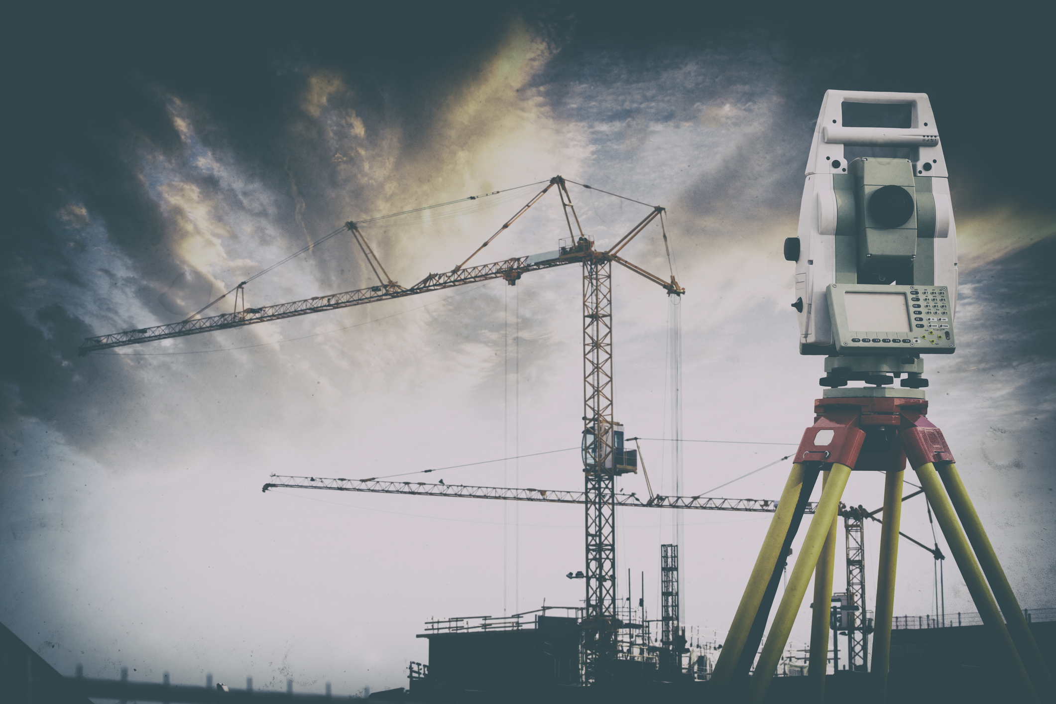
- Description and Use in Surveying: Total stations are electronic/optical instruments used in modern surveying. They combine the functions of a theodolite for measuring angles and an electronic distance meter (EDM) for measuring distance.
- Advantages: Total stations provide high accuracy in both angle and distance measurements, making them ideal for detailed site surveys and construction layout.
Drones and Aerial Surveying
- Role of Drones in Modern Surveying: Drones equipped with high-resolution cameras and sensors can capture detailed aerial images and data, providing a comprehensive view of the project site.
- Benefits: Drones are particularly useful in surveying large or hard-to-reach areas. They offer quick data collection, high-resolution imagery, and the ability to survey areas that might be dangerous or inaccessible for humans.
LiDAR (Light Detection and Ranging)
- Explanation of LiDAR Technology: LiDAR uses laser light to measure distances and create detailed 3D maps of the surveyed area. It is highly effective in capturing fine details and generating precise models.
- Specific Uses and Benefits: LiDAR is used in various applications, including topographic mapping, forestry, and urban planning. Its ability to penetrate dense vegetation and other obstacles makes it invaluable in detailed and accurate site surveys.
Benefits of Using Accurate Surveying Solutions
Accurate surveying solutions offer numerous benefits, contributing to the success and efficiency of projects. Here are some of the key advantages:
Enhanced Project Planning
- Improved Planning and Execution: Accurate data from surveys allow for detailed and informed project planning. This results in better resource management and more efficient project timelines.
- Example: In construction projects, precise surveys help in creating accurate blueprints and ensuring that all elements fit together as planned, reducing the likelihood of errors and delays.
Improved Construction Quality
- Higher Construction Standards: Precision in surveying translates to higher construction quality, as structures are built according to exact specifications.
- Example: Accurate surveys ensure that foundations are laid correctly, structural components align properly, and overall construction integrity is maintained.
Regulatory Compliance
- Meeting Legal Requirements: Accurate surveying helps ensure that all aspects of the project comply with local laws and regulations.
- Example: Surveys that meet regulatory standards help avoid fines and legal issues, ensuring smooth project approval and execution.
Risk Mitigation
- Reducing Project Risks: Accurate data helps identify potential issues early in the project, allowing for proactive risk management.
- Example: By detecting ground instability or other site issues early, project teams can take corrective measures before construction begins, preventing costly setbacks.
Cost Savings
- Financial Benefits of Accuracy: Investing in accurate surveying can lead to significant cost savings by minimising rework, avoiding delays, and ensuring efficient project execution.
- Example: Accurate initial surveys reduce the likelihood of errors during construction, preventing expensive rework and project overruns.
Choosing the Right Surveying Solution
Selecting the right surveying solution depends on the specific needs of your project. Here are some factors to consider:
Project Size and Scope
- Matching Techniques to Project Requirements: Larger projects may require more advanced surveying techniques, such as aerial surveying or LiDAR.
- Example: A large infrastructure project might benefit from the comprehensive data provided by aerial surveys, while a smaller development might only need basic GPS and total station surveys.
Budget
- Balancing Cost and Benefits: While accurate surveying can save money in the long run, it’s essential to choose a solution that fits within your budget.
- Example: For budget-conscious projects, a combination of GPS and traditional surveying methods might be more cost-effective than investing in the latest technology.
Regulatory Requirements
- Ensuring Compliance: Ensure that the chosen surveying method complies with local laws and regulations.
- Example: Certain projects may require surveys that meet specific standards or certifications, necessitating the use of approved methods and technologies.
Terrain and Accessibility
- Adapting to Site Conditions: Consider the terrain and accessibility of the project site. Drones and GPS may be more suitable for difficult-to-reach areas.
- Example: In rugged or densely vegetated areas, drones and LiDAR can provide detailed surveys without the need for extensive ground access.
Expertise
- Hiring Skilled Surveyors: Ensure that the surveying team has the necessary expertise and experience. Look for professionals with a proven track record in delivering accurate results.
- Example: Experienced surveyors can provide valuable insights and recommendations, ensuring the accuracy and reliability of the survey data.


FAQs
Q: What is the role of a surveyor in construction?
- Answer: Surveyors play a crucial role in construction by providing accurate measurements and data for site planning, design, and layout. They ensure that all construction elements are positioned correctly and meet regulatory requirements.
Q: How does GPS improve surveying accuracy?
- Answer: GPS technology enhances surveying accuracy by providing real-time location data with high precision. This reduces the potential for human error and speeds up the data collection process.
Q: What are the benefits of using drones in surveying?
- Answer: Drones offer several benefits, including quick data collection, high-resolution imagery, and the ability to survey large or inaccessible areas. They enhance the efficiency and safety of surveying projects.
Q: What is LiDAR technology used for?
- Answer: LiDAR technology is used for creating detailed 3D maps of the surveyed area. It is particularly useful in topographic mapping, forestry, urban planning, and any application requiring precise spatial data.
Q: How does accurate surveying contribute to cost savings?
- Answer: Accurate surveying contributes to cost savings by reducing errors, preventing rework, and ensuring efficient project execution. It helps identify potential issues early, allowing for proactive management and cost-effective solutions.


