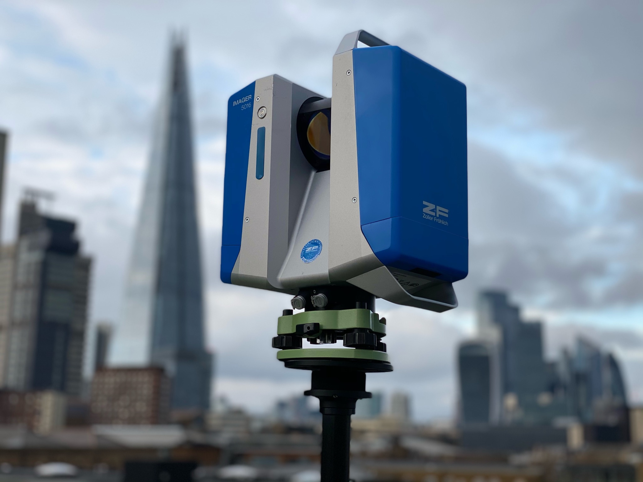
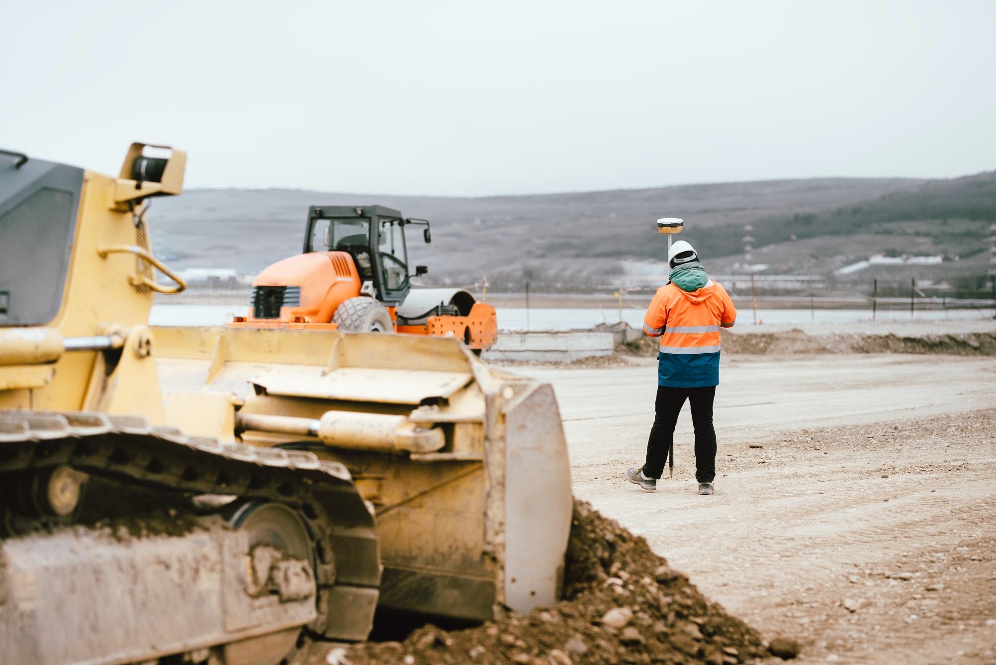
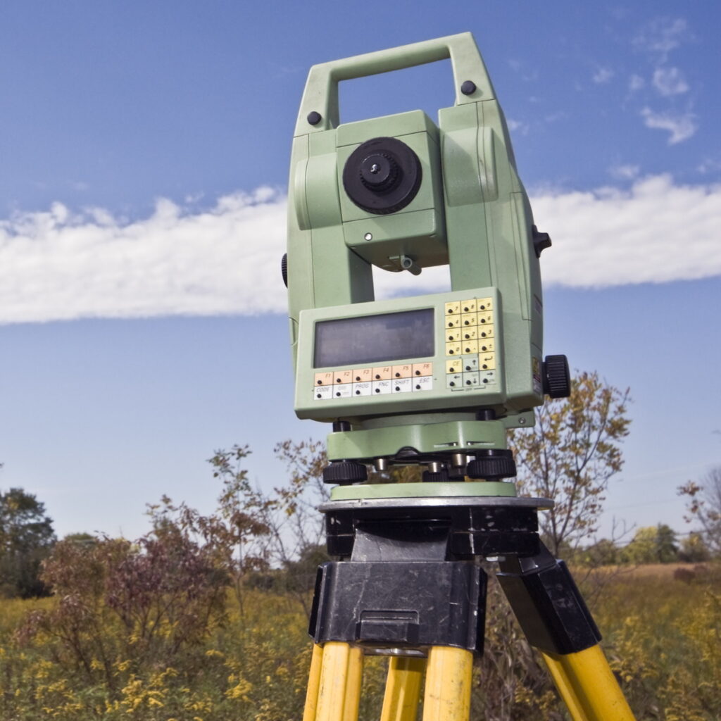
BIM 3D Modelling
BIM 3D Modelling is taking over construction sites in London with increased speed, accuracy, and collaboration. This advancement permits a comprehensive digital preview of every part of a building before it goes into assembly. At the forefront of BIM 3D technology is Geo Scan, revolutionising the construction space, one digitised component at a time – which allows every aspect of a project to be viewed in beautiful digital clarity, transforming every stage of the build process.
![](https://geo-scan.uk/wp-content/uploads/2024/02/surveyor-engineer-with-gps-system-outdoors-at-highway-construction-site.jpg)
BIM 3D Modelling in London
In London, a city known for its blend of historic architecture and modern skyscrapers, BIM 3D modelling is at the forefront of this architectural evolution. Projects like the Shard, the London Aquatics Centre, and the renovation of the historic Battersea Power Station have leveraged BIM for better outcomes, showcasing its potential to reshape the future of construction in the city.
![](https://geo-scan.uk/wp-content/uploads/2024/02/Land-Surveying-Image-of-Leica-Total-Station-1-1024x1024.jpg)
Benefits of 3D BIM modelling
Embracing BIM 3D modelling offers a spectrum of benefits:
- Enhanced Collaboration: Stakeholders can share and access BIM models in real-time, improving communication and collaboration.
- Improved Accuracy and Efficiency: BIM minimises errors and discrepancies in design documents, leading to faster project delivery and reduced rework.
- Cost Savings: With better project visualisation, clash detection and error reduction, BIM can significantly lower the overall cost of construction projects.
- Environmental Benefits: BIM helps in designing energy-efficient buildings by simulating energy consumption, thus contributing to sustainability.
The Future of BIM 3D Modelling in London
As technology evolves, so too does the potential of BIM in London’s construction sector. Future trends include the integration of artificial intelligence and machine learning for predictive analysis, increased use of virtual and augmented reality for project visualisation, and greater emphasis on sustainability through smart building designs.
![](https://geo-scan.uk/wp-content/uploads/2024/02/surveyor-engineer-with-gps-system-outdoors-at-highway-construction-site.jpg)
![](https://geo-scan.uk/wp-content/uploads/2024/02/Land-Surveying-Image-of-Leica-Total-Station-1-1024x1024.jpg)
BIM Levels Explained
BIM maturity levels range from 0 to 3, indicating the degree of collaboration and digital information integration in a project:
- Level 0: No BIM; reliance on 2D drawings.
- Level 1: Partial BIM with a mix of 3D CAD for concept work and 2D for statutory approval documentation.
- Level 2: Full collaboration between parties, using 3D CAD models but not necessarily working on a single, shared model.
- Level 3: Full integration, working on a single, shared project model with all parties accessing and modifying the same model.
![](https://geo-scan.uk/wp-content/uploads/2024/02/surveyor-engineer-with-gps-system-outdoors-at-highway-construction-site.jpg)
What is a 3D BIM model?
A 3D BIM model is an advanced digital representation of the building’s physical and functional characteristics. Unlike traditional 2D drafting, BIM 3D modelling incorporates spatial relationships, geographic information, quantities, and properties of building components, offering a dynamic, real-time simulation of construction processes.
3D BIM model processes
The BIM process encompasses the generation and management of digital representations of physical and functional characteristics of places. This process facilitates the exchange of information across various stages of a construction project, from initial planning through design, construction, operation, and maintenance.
BIM in Construction
BIM is revolutionising project management and execution in the construction industry. It enables construction professionals to visualise projects in a simulated environment, identify potential issues before construction begins, and optimise solutions, thereby enhancing overall project quality.
![](https://geo-scan.uk/wp-content/uploads/2024/02/surveyor-engineer-with-gps-system-outdoors-at-highway-construction-site.jpg)